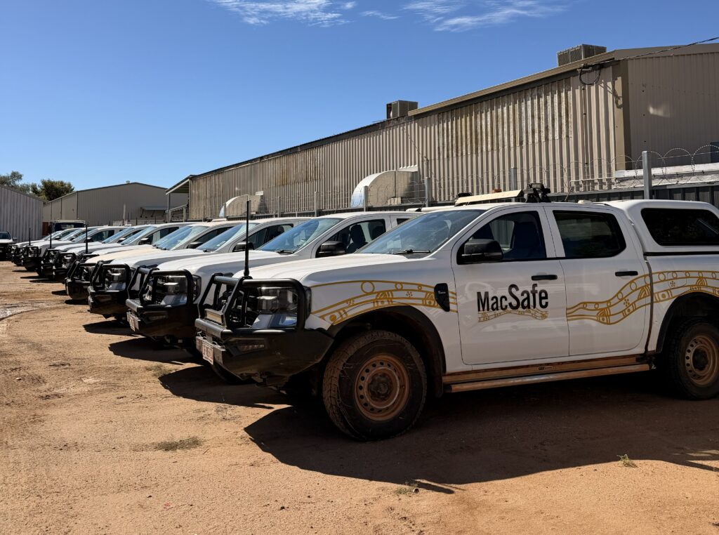
Managing vehicles and assets across remote Australia presents a very different set of challenges to running a fleet in a metropolitan environment.
For MacDonnell Regional Council, those challenges span an operating region larger than the state of Victoria. Based outside Alice Springs, the council supports 13 remote communities across Central Australia, delivering services including road maintenance, waste management, water services, community safety, aged care and early learning.
Supporting those services is a workforce of around 500 employees and a fleet of approximately 340 vehicles and assets. Some employees can travel up to 700kms in a day from the council’s head office to remote communities, often on rough, unsealed roads and through areas with little or no mobile coverage.
For the council, knowing where its people, vehicles and equipment is therefore about much more than fleet efficiency.
“Safety is the biggest priority for us. Our fleet can be replaced, but people can’t,” says Jake Potter, Manager Housing, Facilities & Project Management Office at MacDonnell Regional Council. “We need to know where our teams are, how they’re travelling, and that they can call for help if anything goes wrong.”
Visibility Where Mobile Networks End
The council had previously experienced issues with fleet management technology, including device failures, battery drain and limited usability.
It needed a system capable of operating reliably in remote conditions while providing greater visibility of vehicles and assets across a large geographic area. MacDonnell Regional Council subsequently implemented Teletrac Navman’s GPS tracking and telematics platform, supported by satellite connectivity for areas outside cellular networks.
This allows the council to track vehicles travelling through remote areas and establish expected travel timeframes for employees making long-distance journeys. If someone does not reach their destination within the expected period, teams have greater visibility to determine whether assistance may be required.
Staff also have access to duress alerts, providing another layer of protection when working or travelling in isolated areas.
“The level of visibility we now have across such a large and remote area is critical to how we operate,” Potter says.
Making Better Use of Fleet Assets
While employee safety was the priority, greater visibility has also changed how the council manages its fleet. Understanding when, where and how vehicles are being used gives teams better information when allocating assets between departments and considering whether additional vehicles are actually required.
This has helped the council reduce unnecessary expenditure and make better use of its existing fleet. The same visibility extends to plant and equipment located in remote communities. Real-time tracking provides greater oversight of how assets are being used and can help identify unauthorised use or locate stolen equipment.
For an organisation managing hundreds of assets across a vast geographic area, that information provides a clearer picture of what is available, where it is located and how it is being used.
Using Fleet Data to Manage Maintenance
Telematics data is also supporting the council’s approach to maintenance and vehicle lifecycle management. Automated odometer and engine-hour information gives teams a more consistent view of when servicing is required, rather than relying on manual reporting from vehicles spread across remote locations.
Over time, that data can also help the council understand how individual vehicles are performing and inform decisions about when assets should be retained, replaced or disposed of. Driver behaviour data, including speed, braking and vehicle handling, provides another source of information. This is particularly important given the conditions vehicles encounter on remote and unsealed roads, where driving behaviour can affect both safety and vehicle wear.
Connecting Technology with Service Delivery
The council uses the platform across safety, maintenance, asset utilisation and operational planning rather than solely as a vehicle tracking system.
According to Potter, making the technology straightforward for teams to adopt was also important given the scale of the deployment.
“The system gives us exactly what we asked for, from tracking and safety through to understanding how our vehicles are used and managed,” he says.
“The onboarding was straightforward, and the platform is simple to roll out and straightforward for our teams to use.”
For MacDonnell Regional Council, better fleet visibility ultimately supports a much broader objective. With employees, vehicles and equipment spread across 13 remote communities, knowing how those resources are moving and being used helps the council manage operations while continuing to deliver essential services across Central Australia.